Home Monument types Round barrow
What is a round barrow?
A round barrow is a circular mound of earth, turf or stone, usually surrounded by a ditch and usually built over one or more burials. Most date from the Late Neolithic and the Bronze Age.
- Period
- Late Neolithic to Bronze Age, mainly about 2400 to 1100 BC; sources give different ranges for each form.
- Also called
- tumulus, burial mound, bowl barrow, bell barrow, disc barrow, saucer barrow, pond barrow, barrow cemetery, howe, low, tump
- Pages on Waystone
- 87 in England and Wales
What a round barrow is
Archaeologists divide round barrows by the arrangement of mound, ditch and bank: a bowl barrow has a mound with the ditch directly around it, a bell barrow has a level berm between mound and ditch, a disc barrow has a small, low mound on a level area inside a much wider ditch with an outer bank, a saucer barrow has a low, wide mound within its ditch, and a pond barrow is a circular hollow surrounded by a bank. Bowl barrows are by far the most common, with over 10,000 recorded in England, while Historic England records fewer than 250 bell barrows, about 250 disc barrows, about 60 saucer barrows and about 60 pond barrows, most of them in Wessex. Historic England's scheduling texts date most bowl barrows to about 2400 to 1500 BC, most bell barrows to 1500 to 1100 BC, most disc barrows to 1400 to 1200 BC, most saucer barrows to 1800 to 1200 BC and most pond barrows to 1500 to 1000 BC, although another Historic England text places a group of pond barrows in 2000 to 1500 BC. Barrows stand alone or in groups called barrow cemeteries, and many were reused for later burials.
How round barrows look on LiDAR
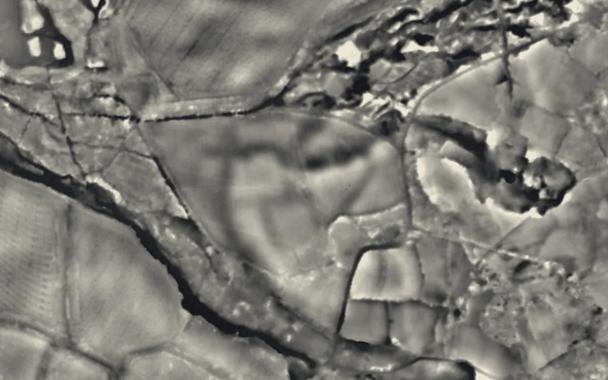
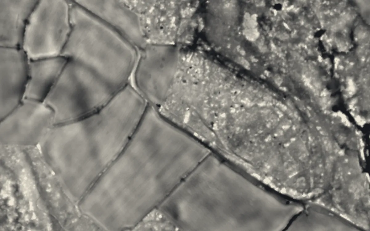
On a bare-earth model a round barrow appears as a small circular rise, often with a faint surrounding ring where the ditch survives. A local relief model is the best single view, because it removes the slope of the hillside and shows barrows that ploughing has reduced to a few tens of centimetres high; sky-view factor shows the encircling ditch as a dark ring. Bell and disc barrows can be told apart by the level berm or platform between mound and ditch, and pond barrows show as a hollow inside a bank, the reverse of the usual pattern. Many barrows were dug into by antiquarians, and the hollow this left shows as a dip in the centre of the mound.
See LiDAR visualisations explained for what each method shows.
What can look like one
Windmill mounds, tree-clump planting mounds, spoil heaps, landscape-garden mounts and natural knolls can all look like round barrows; windmill mounds often have a cross-shaped impression on top from the mill's cross-trees. A ring ditch with no mound may be a ploughed-out barrow, but it can also be the site of a round house or a Second World War searchlight position.
Protection
Many round barrows are scheduled monuments, protected in England by the Ancient Monuments and Archaeological Areas Act 1979 and in Wales by the Historic Environment (Wales) Act 2023.
Examples on the LiDAR
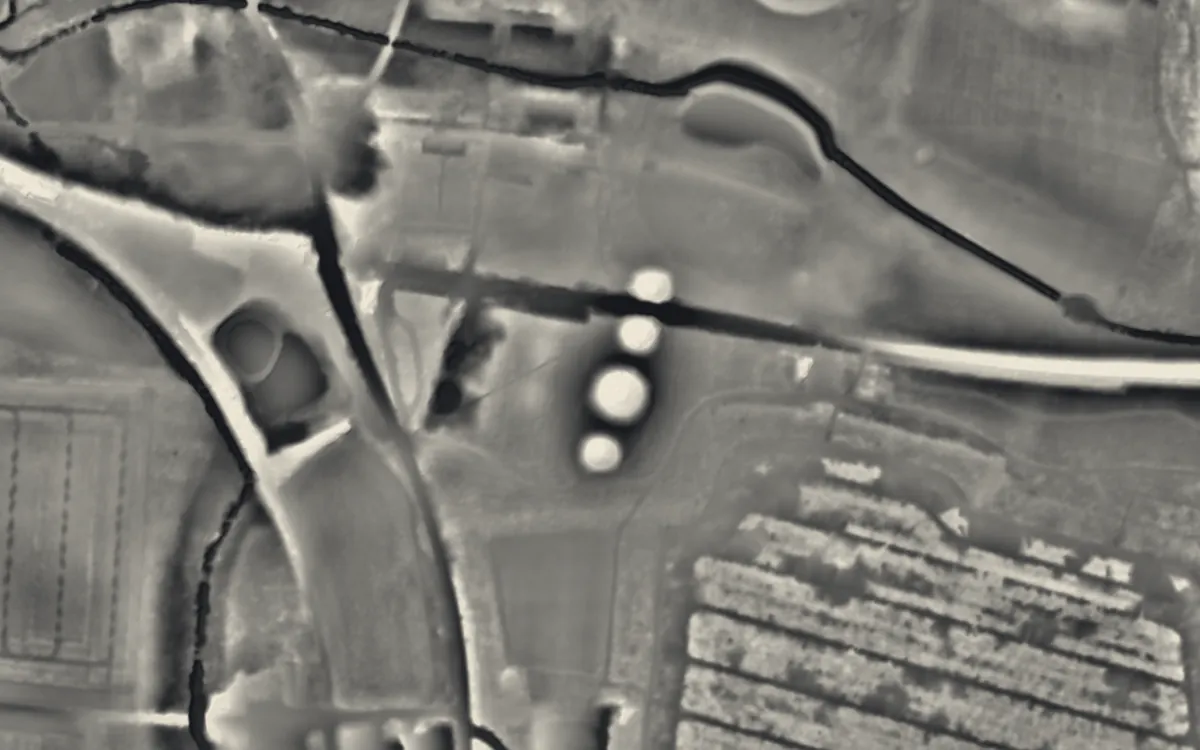 Bartlow HillsCambridgeshire
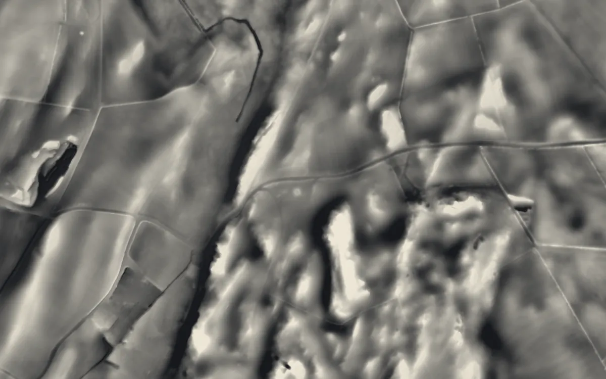 Bedd TaliesinCeredigion
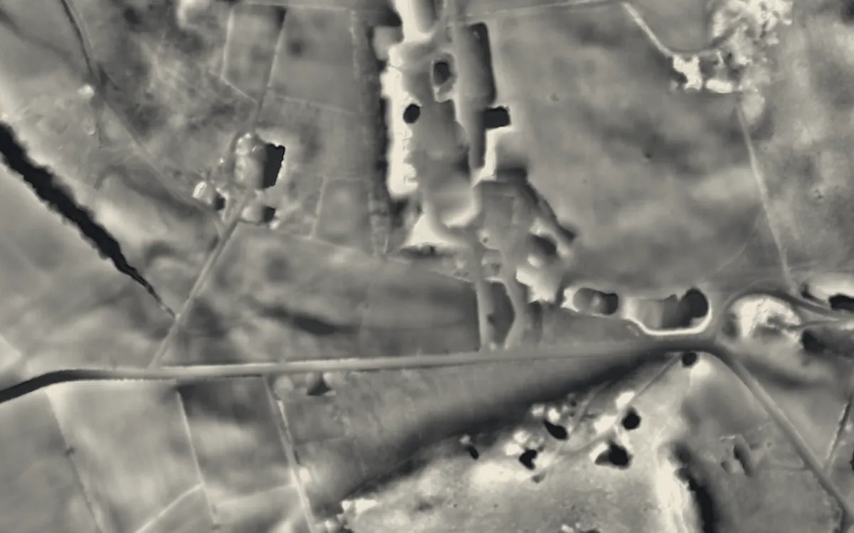 The BridestonesCheshire
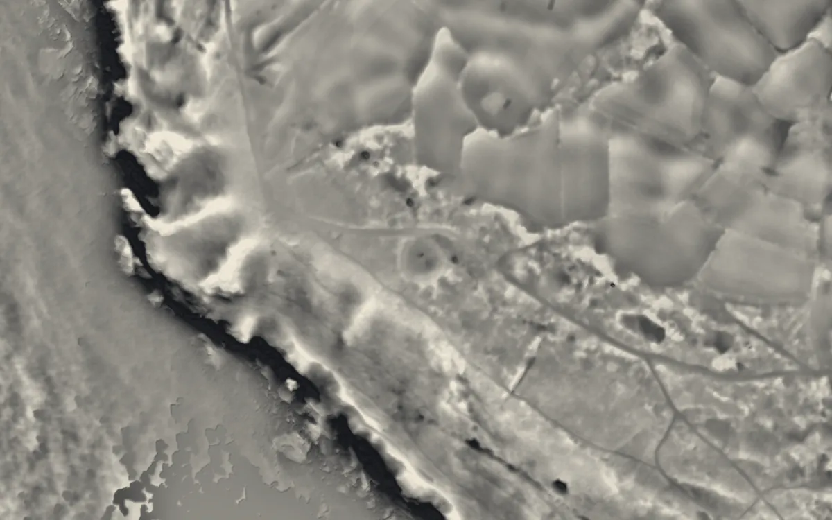 Ballowall BarrowCornwall
 Giant's QuoitCornwall
 Lanyon QuoitCornwall
Where they are
Counties with the most round barrows that have a page here.
- Cornwall9 with a page
- Wiltshire9 with a page
- Isle of Anglesey8 with a page
- Kent8 with a page
- Dorset6 with a page
- Gloucestershire6 with a page
- Derbyshire5 with a page
- Somerset4 with a page
- Oxfordshire3 with a page
- West Sussex3 with a page
- Greater London2 with a page
- Hampshire2 with a page
- Lancashire2 with a page
- North Yorkshire2 with a page
- Pembrokeshire2 with a page
- West Midlands2 with a page
- Cambridgeshire1 with a page
- Ceredigion1 with a page
- Cheshire1 with a page
- Denbighshire1 with a page
- East Riding of Yorkshire1 with a page
- Greater Manchester1 with a page
- Gwynedd1 with a page
- Herefordshire1 with a page
More examples
- Lesquite QuoitCornwall
- Mulfra QuoitCornwall
- Rillaton BarrowCornwall
- Sperris QuoitCornwall
- Two bowl barrows, one 220m east of Lower Longbeak and the other 320m east of Higher LongbeakCornwall
- West Lanyon QuoitCornwall
- Eliseg's PillarDenbighshire
- Five WellsDerbyshire
- Gib HillDerbyshire
- Heath Wood barrow cemeteryDerbyshire
- Hob Hurst's HouseDerbyshire
- MinninglowDerbyshire
- Clandon BarrowDorset
- Group of round barrows on Oakley DownDorset
- Hell StoneDorset
- Long barrows SE of Thickthorn FarmDorset
- The Five Marys round barrow cemeteryDorset
- Wor Barrow and two bowl barrows on Handley DownDorset
- Willy HoweEast Riding of Yorkshire
- Belas KnapGloucestershire
- Hazleton long barrows, north and southGloucestershire
- Notgrove Long BarrowGloucestershire
- Nympsfield Long BarrowGloucestershire
- Uley Long BarrowGloucestershire
- Windmill TumpGloucestershire
- King Henry VIII's MoundGreater London
- Shrewsbury BarrowGreater London
- Brown LowGreater Manchester
- Bryn Cader FanerGwynedd
- Flowerdown BarrowsHampshire
Sources
- FISH Thesaurus of Monument Types (Historic England): Round Barrow
- FISH Thesaurus of Monument Types (Historic England): Bowl Barrow
- FISH Thesaurus of Monument Types (Historic England): Bell Barrow
- FISH Thesaurus of Monument Types (Historic England): Disc Barrow
- FISH Thesaurus of Monument Types (Historic England): Saucer Barrow
- FISH Thesaurus of Monument Types (Historic England): Pond Barrow
- FISH Thesaurus of Monument Types (Historic England): Ring Ditch
- Historic England, Introductions to Heritage Assets: Prehistoric Barrows and Burial Mounds
- Historic England Blog: A Brief Introduction to Bronze Age Barrows (2015)
- Historic England, National Heritage List entry 1017265: Bowl barrow 75m south east of Laycock Dairy Farm
- Historic England, National Heritage List entry 1013325: Bell barrow 1200m west of Hill Copse, Wexcombe Down
- Historic England, National Heritage List entry 1015320: Disc barrow 500m south of Common Farm
- Historic England, National Heritage List entry 1012624: Saucer barrow on Cold Crouch
- Historic England, National Heritage List entry 1015027: Pond barrow 480m west of Olddown Barn on Amesbury Down
- Relief Visualization Toolbox documentation: Simple local relief model
- Hesse, R. 2010. LiDAR-derived Local Relief Models: a new tool for archaeological prospection. Archaeological Prospection 17, 67-72
Last updated 2026-10-16.