Home LiDAR map England West Midlands
LiDAR map of West Midlands
Waystone shows the bare-earth LiDAR of West Midlands at one metre per pixel, with the 2,764 recorded historic places the heritage records hold here, the Roman roads and the Ordnance Survey six-inch maps of 1843–1913 over the same ground. Free, in a browser.
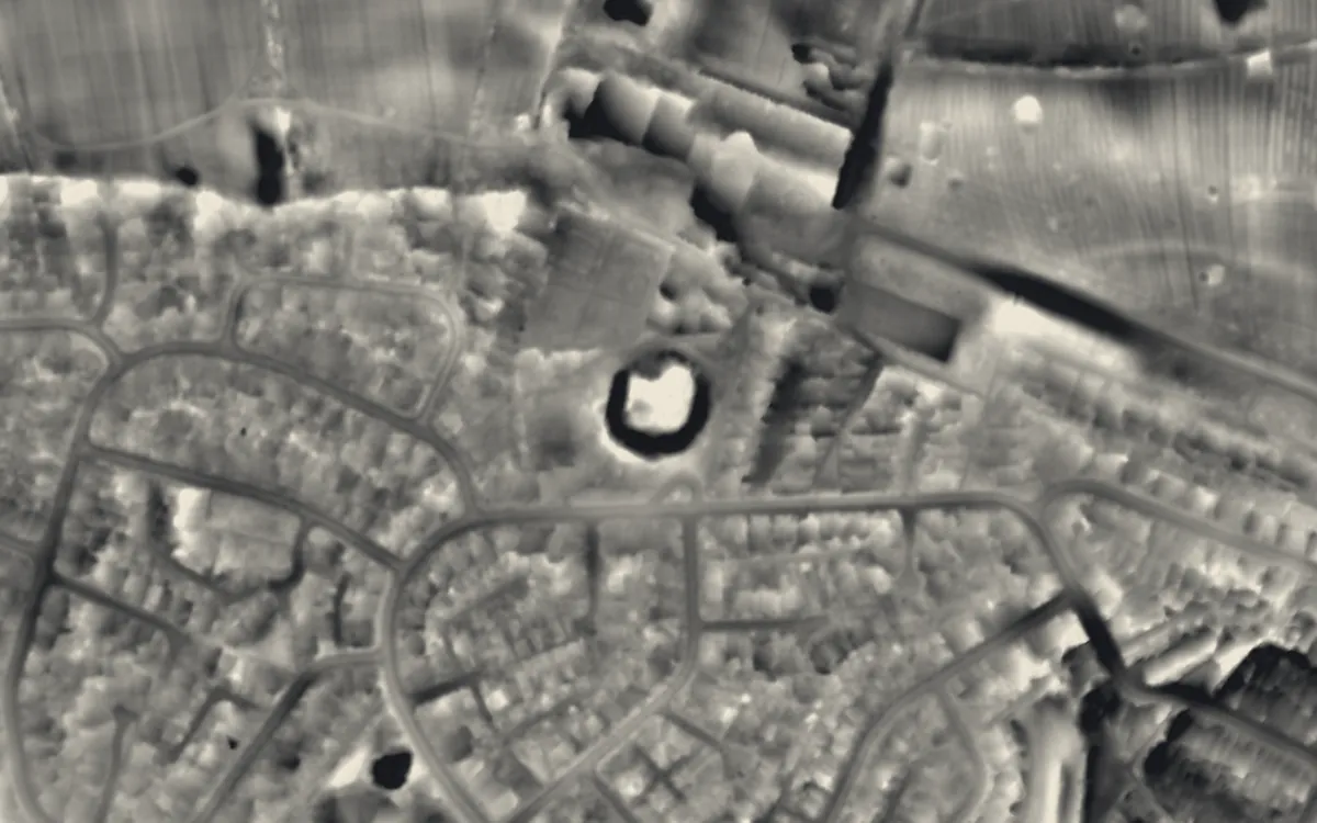
Places on the LiDAR in West Midlands
Each page shows the site on the LiDAR with its record, its location and the recorded places around it.
- Allesley CastleMotte and bailey
- Bromwich CastleCastle
- Burnt mound in Fox Hollies ParkMound
- Caludon CastleCastle
- Chances GlassworksScheduled monument
- Cobb's Engine HouseIndustrial site
- Cook Street GateScheduled monument
- Coventry city wallsScheduled monument
- Dudley CastleMotte and bailey
- Dudley PrioryPriory
- Engine Arm AqueductScheduled monument
- Halesowen AbbeyAbbey
- Hampton in Arden packhorse bridgeBridge
- Hob's Moat, 60m north of Castle LaneScheduled monument
- King's Standing Bowl BarrowBarrow
- Kings Norton Stop LockScheduled monument
- Metchley FortRoman fort
- Perry BridgeBridge
- Sandwell PrioryPriory
- Summit BridgeBridge
- Vignoles BridgeBridge
- Weoley CastleFortified manor house
- Wolverhampton PillarCross
LiDAR maps of the parishes of West Midlands
One page for each of the 28 parishes, with a LiDAR picture and the recorded places inside it.
- Allesley1 recorded places
- Balsall7 recorded places
- Barston6 recorded places
- Berkswell15 recorded places
- Bickenhill and Marston Green24 recorded places
- Birmingham1,063 recorded places
- Castle Bromwich14 recorded places
- Chadwick End2 recorded places
- Chelmsley Wood2 recorded places
- Cheswick Green4 recorded places
- Coventry233 recorded places
- Dickens Heath1 recorded places
- Dudley303 recorded places
- Finham1 recorded places
- Fordbridge3 recorded places
- Hampton in Arden22 recorded places
- Hockley Heath3 recorded places
- Keresley1 recorded places
- Kingshurst4 recorded places
- Meriden15 recorded places
- New Frankley in Birmingham2 recorded places
- Sandwell330 recorded places
- Smith's Wood1 recorded places
- Solihull89 recorded places
- Sutton Coldfield87 recorded places
- Tidbury Green6 recorded places
- Walsall236 recorded places
- Wolverhampton289 recorded places
About the LiDAR
The terrain model is made from an airborne laser survey with vegetation and buildings removed, so earthworks show as height: hillfort ramparts, barrows, Roman road banks, hollow ways and ridge and furrow. In the app the picture is computed as you change the settings, with a moveable sun, a local relief model, multidirectional hillshading and the VAT composite. See how to read a LiDAR map and what archaeology looks like on LiDAR.
Sources
- LiDAR: Environment Agency, 1 m composite DTM, Open Government Licence.
- Recorded places: the national heritage records (Historic England, Cadw, Coflein and others) as held by Waystone.
Last updated 2026-10-16.