An earthwork detector, taught by machine learning.
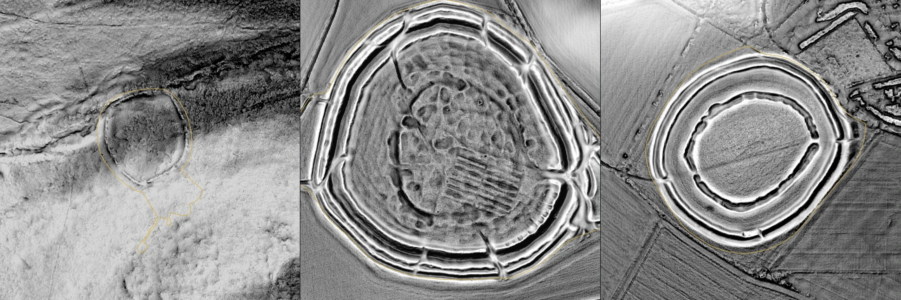
An earthwork is a bank, ditch, mound or platform left by past building. LiDAR is a laser survey flown from an aircraft that measures the height of the ground. Bare-earth LiDAR has the vegetation taken out, leaving the shape of the ground. An earthwork shows in it as relief.
Waystone is training a machine-learning model — a program shown many examples and left to work out what they have in common — on 1,865 scheduled monuments in England. A scheduled monument is a site protected by law and listed on the national heritage register, the list Historic England keeps.
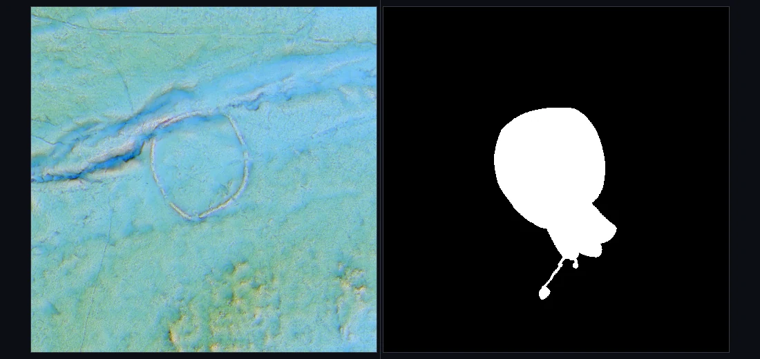
Each monument is cut from the national LiDAR as one tile of five readings: local relief, openness, sky-view factor, slope and hillshade. Its scheduled boundary becomes the mask, a black-and-white image white on the monument, and the mask is the answer the model is marked against.
It is tested on ground it was not trained on, a method called spatial cross-validation, so it cannot mark its own homework. It produces a ranking for a professional to assess, and never announces a discovery. It is in training, and not in the app.