

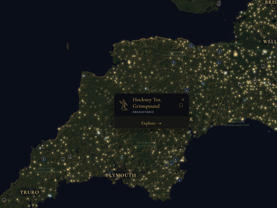

Hockney Tor, Grimspound
Hockney Tor sits at the edge of something ancient. The Canmore record classifies it as prehistoric, and somewhere in the sparse ground around you — beneath moss, tucked among stones that look almost natural — are the remains of houses where Bronze Age families lived, cooked, and died. These were not grand structures. They were roundhouses, built of stone and timber, their circular footprints still just legible on the moor if you know how to read them. Each one held a household. Each one mattered to someone.
What strikes hardest about hut circles is how ordinary they are. No fortress walls, no ritual monument, no name carved into legend. Just the stone rings where people kept themselves warm on the exposed heights of Dartmoor, where the wind still cuts the same way it did three thousand years ago. The tor itself dominates the landscape — a natural marker, a landmark visible for miles. Did families gather here by choice because the stone and the view offered shelter and sight? Or did they simply endure? The record does not say. But if you stand on this moorland and look down into those faint circles in the turf, you are looking at proof that someone decided this wild place was worth defending, worth building on, worth calling home.
Can you still see where the doorways faced — the sheltered side where smoke curled out toward the sun?