LiDAR map of Gwynedd
Waystone shows the bare-earth LiDAR of Gwynedd at one metre per pixel, with the 9,941 recorded historic places the heritage records hold here, the Roman roads and the Ordnance Survey six-inch maps of 1843–1913 over the same ground. Free, in a browser.
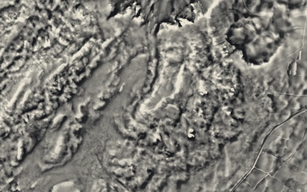
Places on the LiDAR in Gwynedd
Each page shows the site on the LiDAR with its record, its location and the recorded places around it.
- Bardsey AbbeyAbbey
- Bryn Cader FanerBarrow
- Caer EuniHillfort
- Caer GaiRoman fort
- Caernarfon CastleCastle
- Carndochan CastleCastle
- Castrum SegontiumRoman fort
- Craig yr AderynHillfort
- Criccieth CastleCastle
- Cwmorthin QuarryIndustrial site
- Cymer AbbeyAbbey
- Dinas DinorwigHillfort
- Dinas EmrysHillfort
- Dinorwic QuarryIndustrial site
- Diphwys Casson QuarryIndustrial site
- Dolbadarn CastleCastle
- Dorothea QuarryIndustrial site
- Garn BoduanHillfort
- Harlech CastleCastle
- Pen y BrynScheduled monument
- Pen-yr-Orsedd QuarryIndustrial site
- Penrhyn Quarry RailwayIndustrial site
- Rhiwbach QuarryIndustrial site
- Tomen y MurRoman fort
- Tre'r CeiriHillfort
- Wrysgan QuarryIndustrial site
LiDAR maps of the communities of Gwynedd
One page for each of the 64 communities, with a LiDAR picture and the recorded places inside it.
- Aber98 recorded places
- Aberdaron149 recorded places
- Aberdovey27 recorded places
- Arthog138 recorded places
- Bala46 recorded places
- Bangor112 recorded places
- Barmouth95 recorded places
- Beddgelert374 recorded places
- Bethesda37 recorded places
- Betws Garmon249 recorded places
- Bontnewydd33 recorded places
- Botwnnog56 recorded places
- Brithdir and Llanfachreth382 recorded places
- Bryn-crug103 recorded places
- Buan57 recorded places
- Caernarfon85 recorded places
- Clynnog110 recorded places
- Corris76 recorded places
- Criccieth39 recorded places
- Dolbenmaen590 recorded places
- Dolgellau117 recorded places
- Dyffryn Ardudwy240 recorded places
- Ffestiniog774 recorded places
- Ganllwyd131 recorded places
- Harlech48 recorded places
- Llanaelhaearn54 recorded places
- Llanbedr75 recorded places
- Llanbedrog32 recorded places
- Llanberis219 recorded places
- Llanddeiniolen146 recorded places
- Llandderfel200 recorded places
- Llandwrog136 recorded places
- Llandygai137 recorded places
- Llanegryn163 recorded places
- Llanelltyd59 recorded places
- Llanengan82 recorded places
- Llanfair48 recorded places
- Llanfihangel-y-Pennant97 recorded places
- Llanfrothen124 recorded places
- Llangelynnin134 recorded places
- Llangywer101 recorded places
- Llanllechid165 recorded places
- Llanllyfni236 recorded places
- Llannor97 recorded places
- Llanrug107 recorded places
- Llanuwchllyn352 recorded places
- Llanwnda54 recorded places
- Llanycil621 recorded places
- Llanystumdwy87 recorded places
- Maentwrog123 recorded places
- Mawddwy243 recorded places
- Nefyn45 recorded places
- Pennal46 recorded places
- Penrhyndeudraeth90 recorded places
- Pentir85 recorded places
- Pistyll63 recorded places
- Porthmadog100 recorded places
- Pwllheli51 recorded places
- Talsarnau107 recorded places
- Trawsfynydd983 recorded places
- Tudweiliog43 recorded places
- Tywyn69 recorded places
- Waunfawr126 recorded places
- Y Felinheli29 recorded places
About the LiDAR
The terrain model is made from an airborne laser survey with vegetation and buildings removed, so earthworks show as height: hillfort ramparts, barrows, Roman road banks, hollow ways and ridge and furrow. In the app the picture is computed as you change the settings, with a moveable sun, a local relief model, multidirectional hillshading and the VAT composite. See how to read a LiDAR map and what archaeology looks like on LiDAR.
Sources
- LiDAR: Natural Resources Wales and Welsh Government, 1 m DTM, Open Government Licence.
- Recorded places: the national heritage records (Historic England, Cadw, Coflein and others) as held by Waystone.
Last updated 2026-10-16.