Home Monument types Bomb crater
What is a bomb crater?
A bomb crater is a hollow in the ground made by the explosion of a bomb, mine or shell. Most surviving examples in England and Wales date from the Second World War.
- Period
- First and Second World Wars; most surviving examples in England and Wales date from 1939 to 1945.
- Also called
- impact crater, shell crater, mortar crater
- Pages on Waystone
- 81 in England and Wales
What a bomb crater is
Craters are usually circular with a raised rim of thrown-out soil, and they often occur in lines where a stick of bombs fell or in clusters around a target. Many were filled in soon after the war, and those that survive are mostly in woodland, heath, moorland and pasture. Historic Environment Records in Kent, Lincolnshire and Suffolk record wartime craters still visible as shallow circular earthworks on Environment Agency lidar, although some records cannot tell whether a crater came from enemy bombing or from later bomb disposal. Military training areas also contain craters from artillery and mortar fire.
How bomb craters look on LiDAR
A bomb crater shows as a circular hollow with a raised rim, typically several metres across, often one of a line or scatter of similar hollows. Sky-view factor and negative openness show the hollow as a dark disc, and positive openness picks out the rim as a bright ring. A local relief model shows shallow, partly filled craters on level ground.
See LiDAR visualisations explained for what each method shows.
What can look like one
Bell pits, quarry pits, marl pits, shake holes and robbed barrow mounds can look like bomb craters. A line of evenly spaced, rimmed hollows that crosses field boundaries without regard to them is typical of a stick of bombs.
Protection
Bomb craters are rarely designated, but many are recorded in local Historic Environment Records.
Examples on the LiDAR
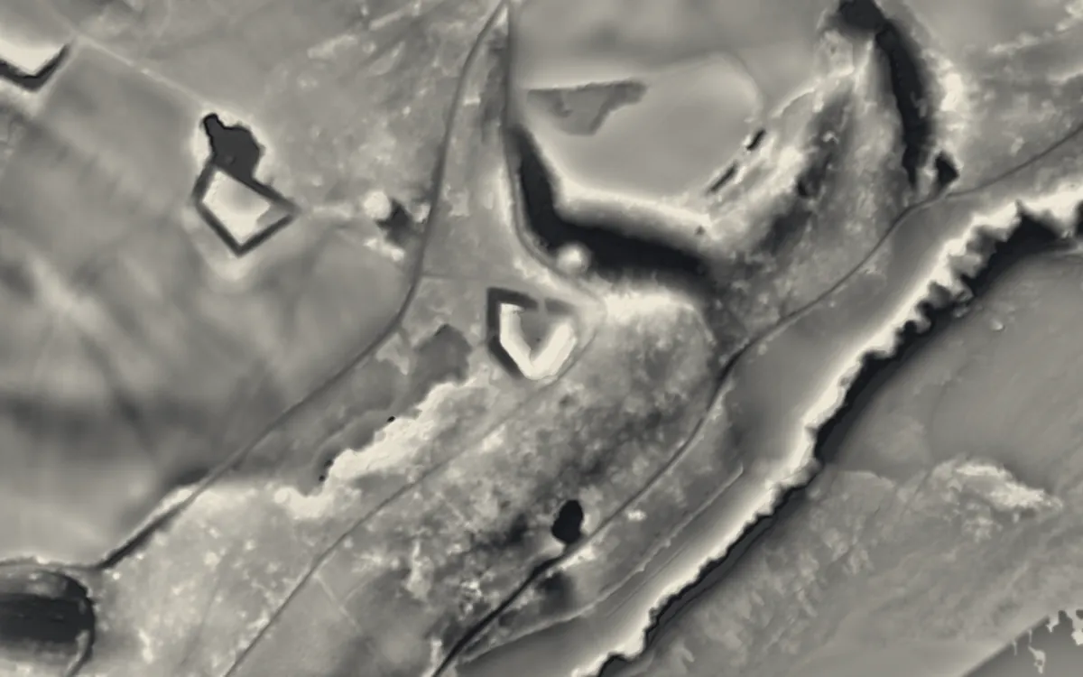 Grenville BatteryCornwall
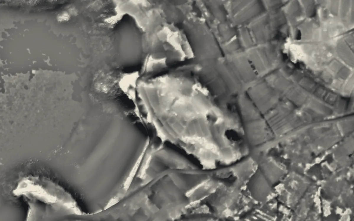 Harry's WallsCornwall
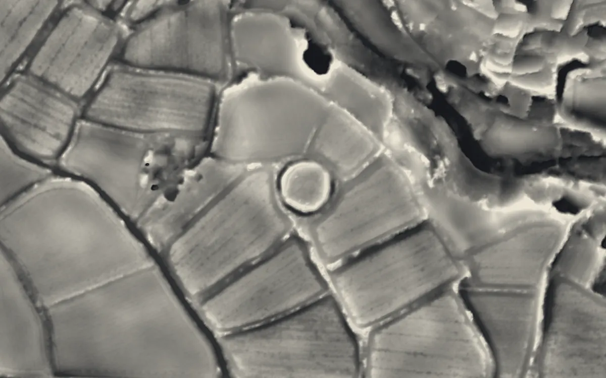 Lesingey RoundCornwall
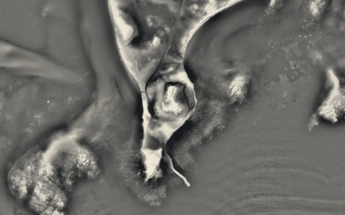 Oliver's BatteryCornwall
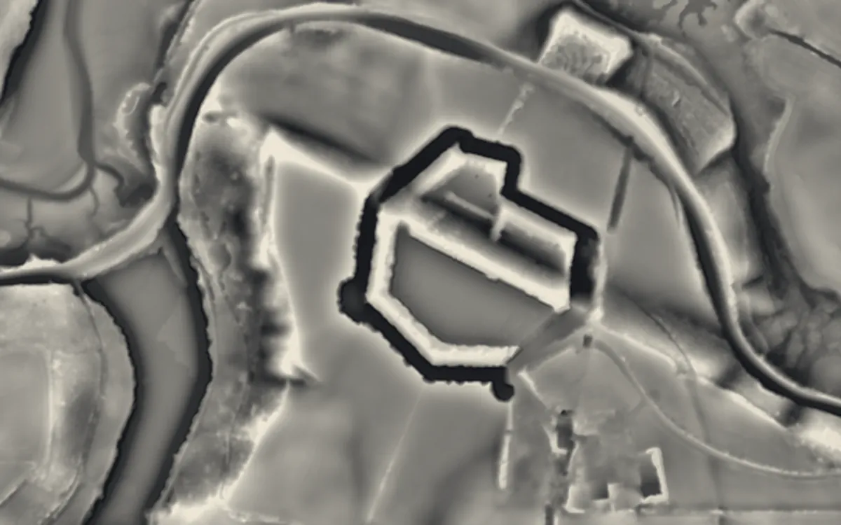 Scraesdon FortCornwall
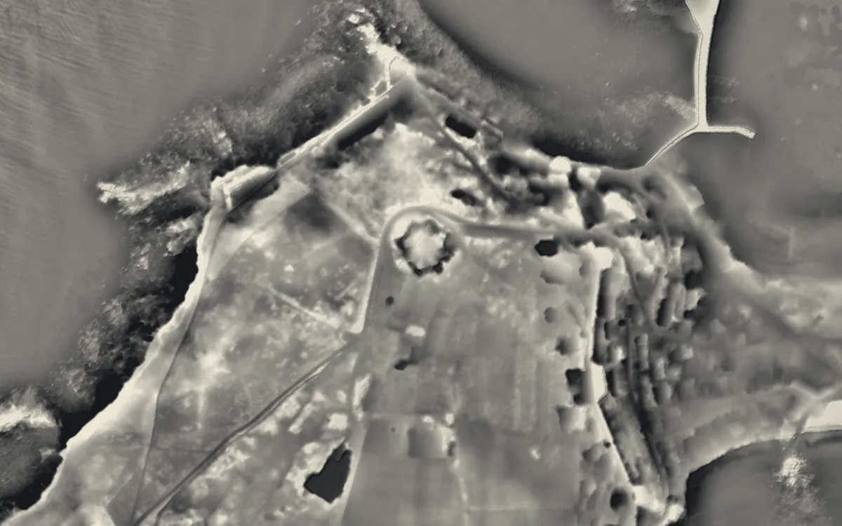 Star CastleCornwall
Where they are
Counties with the most bomb craters that have a page here.
- Hampshire14 with a page
- Devon13 with a page
- Kent12 with a page
- Isle of Wight8 with a page
- Cornwall7 with a page
- Pembrokeshire5 with a page
- Essex3 with a page
- County Durham2 with a page
- Dorset2 with a page
- West Sussex2 with a page
- Derbyshire1 with a page
- East Sussex1 with a page
- Hertfordshire1 with a page
- Monmouthshire1 with a page
- Norfolk1 with a page
- North Yorkshire1 with a page
- Nottinghamshire1 with a page
- Powys1 with a page
- Somerset1 with a page
- Suffolk1 with a page
- Surrey1 with a page
- Tyne & Wear1 with a page
More examples
- Tregantle FortCornwall
- Dalden TowerCounty Durham
- Heugh Battery MuseumCounty Durham
- Castleton Town DefencesDerbyshire
- Bowden BatteryDevon
- Brixham BatteryDevon
- Crownhill FortDevon
- Efford FortDevon
- Fort AustinDevon
- Fort BovisandDevon
- Fort StamfordDevon
- Knowles BatteryDevon
- Laira BatteryDevon
- Royal CitadelDevon
- Western Kings Artillery TowerDevon
- Woodlands FortDevon
- Yellowberries CopseDevon
- Nothe FortDorset
- Verne CitadelDorset
- Newhaven FortEast Sussex
- Beacon Hill BatteryEssex
- Coalhouse FortEssex
- Tilbury FortEssex
- Fort BlockhouseHampshire
- Fort BrockhurstHampshire
- Fort CumberlandHampshire
- Fort ElsonHampshire
- Fort FarehamHampshire
- Fort GilkickerHampshire
- Fort GrangeHampshire
Sources
- FISH Thesaurus of Monument Types (Historic England): Bomb Crater
- FISH Thesaurus of Monument Types (Historic England): Impact Crater
- FISH Thesaurus of Monument Types (Historic England): Mortar Crater
- Monument Type Thesaurus (Wales), RCAHMW: Bomb Crater
- Lincolnshire Heritage Explorer (HER): Second World War Bomb Craters, Naylor's Hills, Laughterton, MLI53812
- Kent Historic Environment Record: Bomb Crater, south-west of Minster, MKE124103
- Suffolk Heritage Explorer (HER): Possible Second World War bomb craters, BRD 324
- Relief Visualization Toolbox documentation: Openness
- Relief Visualization Toolbox documentation: Sky-view factor
Last updated 2026-10-16.