Home LiDAR map Wales Monmouthshire
LiDAR map of Monmouthshire
Waystone shows the bare-earth LiDAR of Monmouthshire at one metre per pixel, with the 2,096 recorded historic places the heritage records hold here, the Roman roads and the Ordnance Survey six-inch maps of 1843–1913 over the same ground. Free, in a browser.
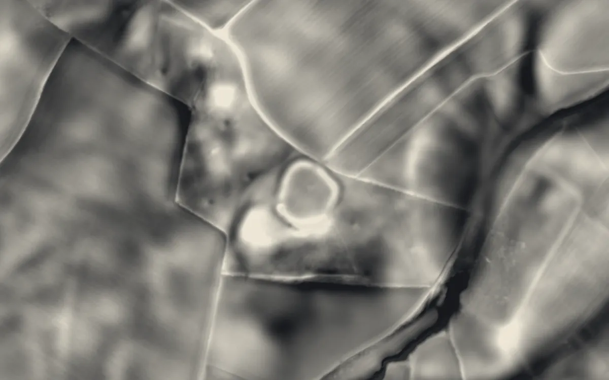
Places on the LiDAR in Monmouthshire
Each page shows the site on the LiDAR with its record, its location and the recorded places around it.
- Abergavenny BridgeBridge
- Abergavenny CastleCastle
- BurriumRoman fort
- Caldicot CastleCastle
- Castell ArnalltCastle
- Chepstow CastleCastle
- Clawdd-duMilitary site
- Cross at Croes LwydCross
- Gaer hill fort, TrellechHillfort
- Grace Dieu Abbey, MonmouthAbbey
- Grosmont CastleCastle
- Hen Gwrt Medieval Moated SiteScheduled monument
- Hygga House DovecoteScheduled monument
- Llangibby CastleCastle
- Llanthony PrioryPriory
- Magor MansionScheduled monument
- Monmouth CastleCastle
- Monnow BridgeCastle
- Pen y Clawdd CastleMotte and bailey
- Perth-hir HouseScheduled monument
- Raglan CastleCastle
- Redbrook Incline BridgeBridge
- Skenfrith CastleCastle
- St Peter's CaveScheduled monument
- The LarchesHillfort
- Tintern AbbeyAbbey
- Venta SilurumSettlement
- White CastleCastle
LiDAR maps of the communities of Monmouthshire
One page for each of the 30 communities, with a LiDAR picture and the recorded places inside it.
- Abergavenny95 recorded places
- Caerwent81 recorded places
- Caldicot33 recorded places
- Chepstow83 recorded places
- Crucorney86 recorded places
- Devauden49 recorded places
- Gobion Fawr60 recorded places
- Goetre Fawr78 recorded places
- Grosmont38 recorded places
- Llanarth62 recorded places
- Llanbadoc45 recorded places
- Llanelly209 recorded places
- Llanfoist Fawr295 recorded places
- Llangybi55 recorded places
- Llantilio Pertholey22 recorded places
- Llantrisant Fawr48 recorded places
- Magor with Undy22 recorded places
- Mathern36 recorded places
- Mitchel Troy78 recorded places
- Monmouth210 recorded places
- Portskewett18 recorded places
- Raglan34 recorded places
- Rogiet17 recorded places
- Shirenewton28 recorded places
- Skenfrith40 recorded places
- St. Arvans19 recorded places
- Trellech United74 recorded places
- Usk43 recorded places
- Whitecastle84 recorded places
- Wye Valley44 recorded places
About the LiDAR
The terrain model is made from an airborne laser survey with vegetation and buildings removed, so earthworks show as height: hillfort ramparts, barrows, Roman road banks, hollow ways and ridge and furrow. In the app the picture is computed as you change the settings, with a moveable sun, a local relief model, multidirectional hillshading and the VAT composite. See how to read a LiDAR map and what archaeology looks like on LiDAR.
Sources
- LiDAR: Natural Resources Wales and Welsh Government, 1 m DTM, Open Government Licence.
- Recorded places: the national heritage records (Historic England, Cadw, Coflein and others) as held by Waystone.
Last updated 2026-10-16.