Home Monument types Hollow way
What is a hollow way?
A hollow way is a road, track or path that lies in a cutting below the level of the ground on either side. Most were worn down by traffic and by water running along the route, although some were dug deliberately or formed between boundary banks.
- Period
- Any period from prehistory onwards; many surviving examples are medieval and post-medieval.
- Also called
- holloway, hollow-way, sunken lane, sunken way
- Pages on Waystone
- 10 in England and Wales
What a hollow way is
Hollow ways form most readily on soft ground such as chalk and greensand, and once formed they tend to stay in use for long periods. Where traffic spread out to avoid a worn route, a hollow way may divide into several parallel or braided channels, as on Twyford Down in Hampshire, where several hollow ways cross the hillside. Hollow ways form the streets of many deserted medieval villages and the routes that linked villages to their fields and commons. Historic England distinguishes trackways, marked on the ground by the passage of traffic over time, from roads, which were deliberately engineered.
How hollow ways look on LiDAR
A hollow way shows as a linear trough, often with a bank on each side, running along or down a slope, and on steep ground several troughs may fan out side by side. Sky-view factor and negative openness are the best views, because they show narrow linear hollows as dark lines whatever their direction, and positive openness shows the ridges between parallel hollow ways. A local relief model shows shallow hollow ways on level ground, such as the streets of deserted villages.
See LiDAR visualisations explained for what each method shows.
What can look like one
Natural gullies and stream channels, drainage ditches, quarry trenches, eroded modern footpaths and tracks, and Second World War anti-tank ditches can look like hollow ways. Following a hollow to both ends usually shows whether it connects places, as a route does.
Protection
Hollow ways are rarely scheduled on their own, but many are included within scheduled deserted villages and other monuments.
Examples on the LiDAR
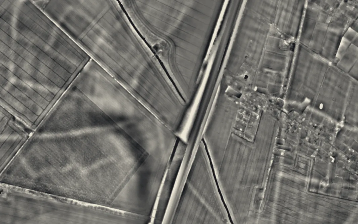 Brent DitchCambridgeshire
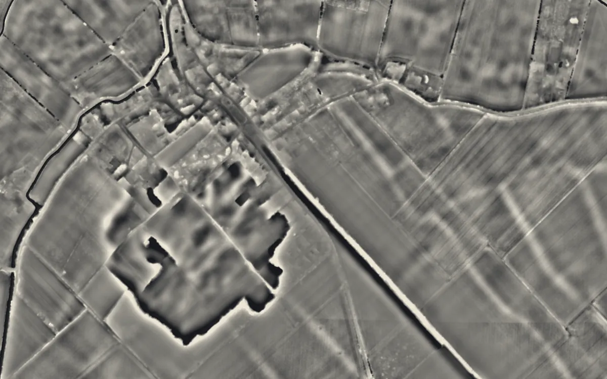 Devil's DykeCambridgeshire
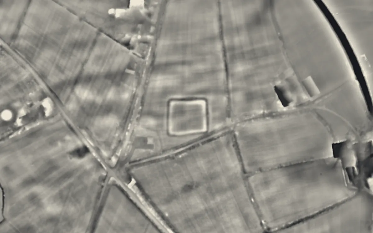 Broadbury CastleDevon
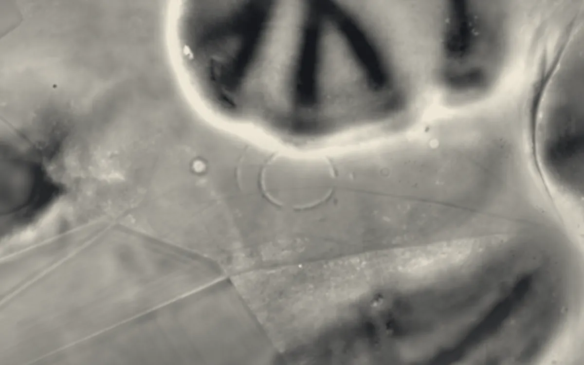 Neolithic causewayed enclosure on Combe HillEast Sussex
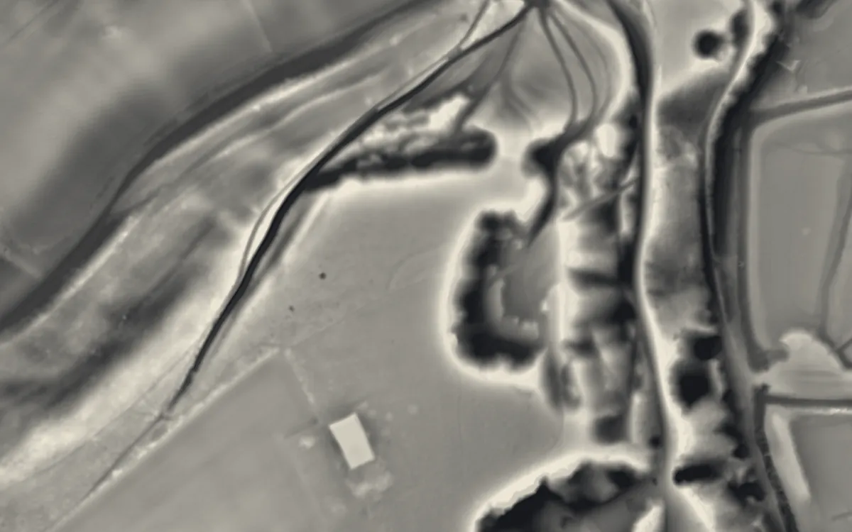 Offham Hill Causewayed EnclosureEast Sussex
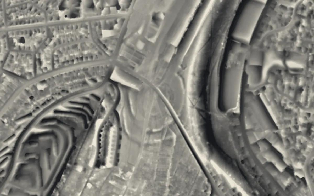 Whitehawk CampEast Sussex
Where they are
Counties with the most hollow ways that have a page here.
- East Sussex3 with a page
- Cambridgeshire2 with a page
- West Sussex2 with a page
- Devon1 with a page
- Pembrokeshire1 with a page
- Wiltshire1 with a page
More examples
- Bedd ArthurPembrokeshire
- Barkhale Camp causewayed enclosureWest Sussex
- Neolithic causewayed enclosure and associated remains on Court HillWest Sussex
- Knap HillWiltshire
Sources
- FISH Thesaurus of Monument Types (Historic England): Hollow Way
- Monument Type Thesaurus (Wales), RCAHMW: Hollow Way
- Historic England, Introductions to Heritage Assets: Pre-industrial Roads, Trackways and Canals (2018)
- Historic England Blog: A Brief Introduction to Ancient Paths and Highways (2015)
- Derbyshire Historic Environment Record: Hollow ways, east of Viator's Bridge, Newton Grange, MDR1083
- Wikipedia: Sunken lane (cross-check)
- Relief Visualization Toolbox documentation: Openness
- Relief Visualization Toolbox documentation: Sky-view factor
Last updated 2026-10-16.