Home Monument types Causewayed enclosure
What is a causewayed enclosure?
A causewayed enclosure is an area enclosed by one or more circuits of ditch broken by frequent gaps (causeways), often with an internal bank that is also interrupted. They are among the earliest monuments built by Neolithic farmers in Britain.
- Period
- Early Neolithic, about 3700 to 3300 BC; older Historic England scheduling texts give 3000 to 2400 BC.
- Also called
- causewayed camp, interrupted-ditch enclosure, Neolithic enclosure
- Pages on Waystone
- 11 in England and Wales
What a causewayed enclosure is
Historic England's introduction places causewayed enclosures in the Early Neolithic, 4000 to 3300 BC, and radiocarbon dating published in 2011 (Whittle and others, Gathering Time) shows that most in Britain were built between about 3700 and 3500 BC, with some, such as Hambledon Hill and Windmill Hill, used until the 35th or 34th century BC. Older Historic England scheduling texts, written before that dating programme, give 3000 to 2400 BC and record between 50 and 70 in England, mainly in the south and east; about 70 are now recorded in southern England and Wales. Few have been excavated with modern techniques, and their purpose is not fully understood. Most have been levelled by ploughing and are known from aerial photographs, but some survive as earthworks on downland, such as Knap Hill and Windmill Hill in Wiltshire.
How causewayed enclosures look on LiDAR
Where a causewayed enclosure survives as an earthwork, it shows as a ring, or several concentric rings, of short ditch segments separated by gaps, usually with a low bank inside, and the segments may be only a few tens of centimetres deep. Sky-view factor and negative openness show the ditch segments best, and a local relief model shows the low bank. Most examples have been ploughed flat and show nothing on a bare-earth model; they are found mainly as cropmarks on aerial photographs.
See LiDAR visualisations explained for what each method shows.
What can look like one
Lines of quarry pits, pit alignments, the interrupted ditches of later prehistoric enclosures and damaged hillfort ramparts can look like a causewayed circuit. Some hillforts were built on the sites of causewayed enclosures, so the two can occupy the same hilltop.
Protection
Many causewayed enclosures are scheduled monuments, protected in England by the Ancient Monuments and Archaeological Areas Act 1979 and in Wales by the Historic Environment (Wales) Act 2023.
Examples on the LiDAR
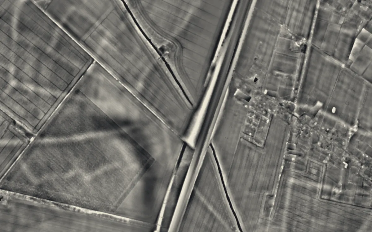 Brent DitchCambridgeshire
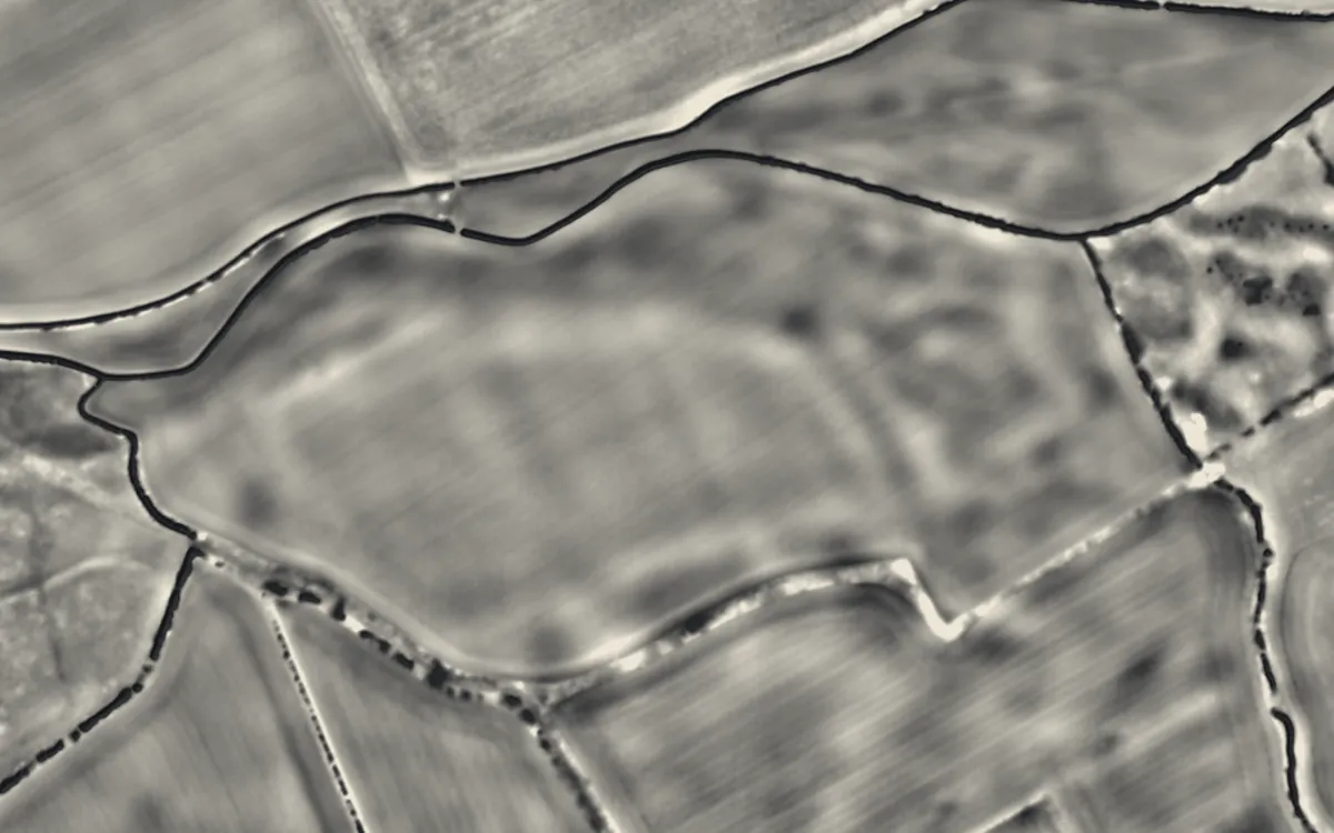 Causewayed enclosure 900m west of Great Wilbraham parish churchCambridgeshire
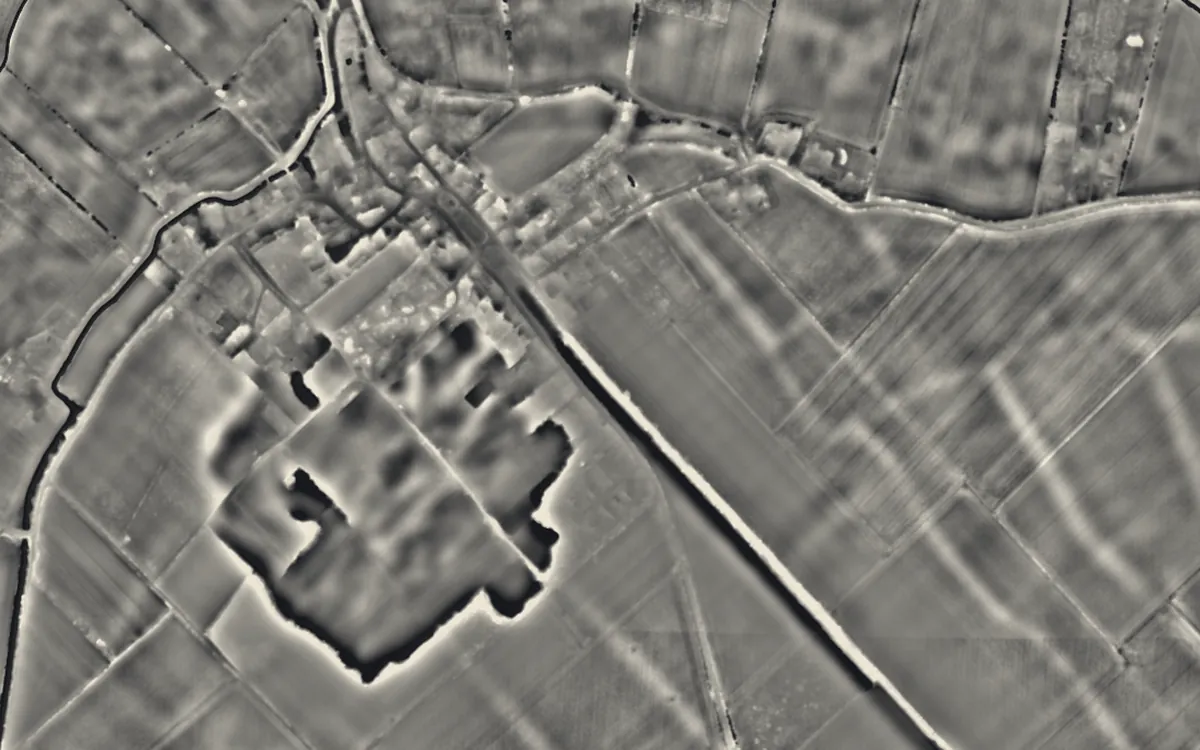 Devil's DykeCambridgeshire
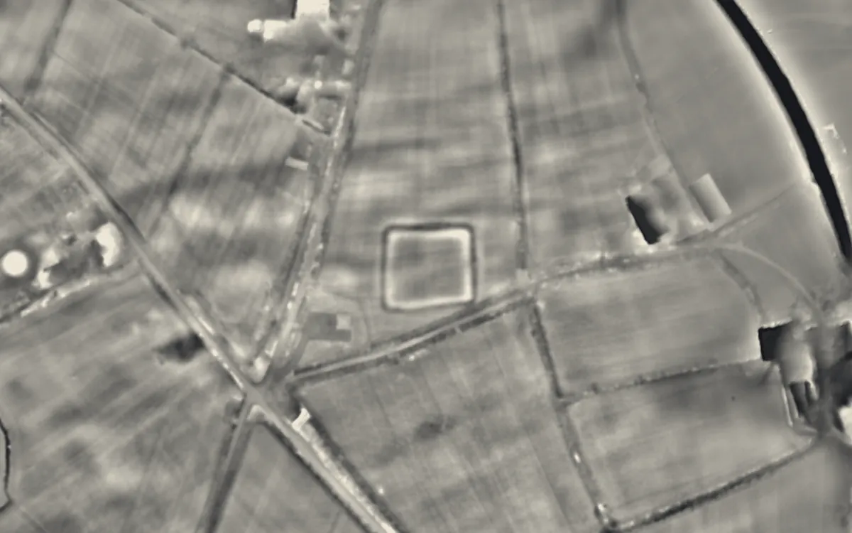 Broadbury CastleDevon
 Neolithic causewayed enclosure on Combe HillEast Sussex
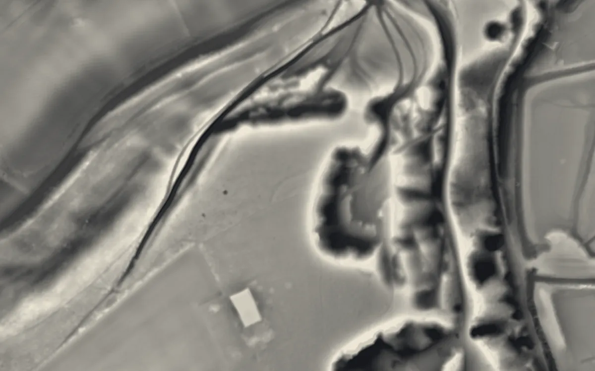 Offham Hill Causewayed EnclosureEast Sussex
Where they are
Counties with the most causewayed enclosures that have a page here.
- Cambridgeshire3 with a page
- East Sussex3 with a page
- West Sussex2 with a page
- Devon1 with a page
- Pembrokeshire1 with a page
- Wiltshire1 with a page
More examples
- Whitehawk CampEast Sussex
- Bedd ArthurPembrokeshire
- Barkhale Camp causewayed enclosureWest Sussex
- Neolithic causewayed enclosure and associated remains on Court HillWest Sussex
- Knap HillWiltshire
Sources
- FISH Thesaurus of Monument Types (Historic England): Causewayed Enclosure
- Monument Type Thesaurus (Wales), RCAHMW: Causewayed Enclosure
- Historic England, Introductions to Heritage Assets: Causewayed Enclosures (2018)
- Historic England, National Heritage List entry 1018037: Neolithic causewayed enclosure and associated remains on Court Hill
- Historic England, Introductions to Heritage Assets: Hillforts (2018), on hillforts built over causewayed enclosures
- Wikipedia: Causewayed enclosure (cross-check)
- Relief Visualization Toolbox documentation: Sky-view factor
Last updated 2026-10-16.