Home Maps by type Roman forts and sites on LiDAR
Roman forts and sites on LiDAR
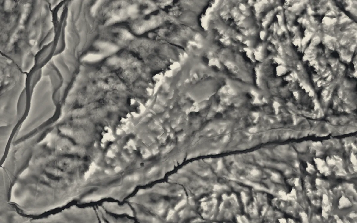
Roman forts, camps, towns and other Roman sites with scheduled remains. Forts show as rectangular enclosures with rounded corners; temporary camps as low banks enclosing a larger area. This list holds the 94 that are scheduled monuments with an article on Wikipedia; the map in the app shows every recorded site.
Bedfordshire
Bristol
Cambridgeshire
Cheshire
City of London
Conwy
County Durham
Cumbria
- Alauna
- Galava
- Glannoventa
- Hardknott Roman Fort
- Milefortlet 1
- Milefortlet 12
- Milefortlet 17
- Milefortlet 20
- Milefortlet 21
- Milefortlet 22
- Milefortlet 23
- Milefortlet 3
- Milefortlet 4
- Milefortlet 5
- Milefortlet 9
- Ravenglass Roman Bath House
Derbyshire
East Riding of Yorkshire
East Sussex
Gloucestershire
- Chedworth Roman Villa
- Cirencester Amphitheatre
- Glevum
- Great Witcombe Roman Villa
- Spoonley Wood Roman villa
- Woodchester Roman Villa
Greater London
Gwynedd
Hampshire
Herefordshire
Hertfordshire
Isle of Wight
Kent
Lancashire
Lincolnshire
Monmouthshire
Neath Port Talbot
Newport
Norfolk
North Yorkshire
Northumberland
Nottinghamshire
Oxfordshire
Pembrokeshire
Powys
Rutland
Shropshire
Somerset
Staffordshire
Tyne & Wear
Warwickshire
West Midlands
West Sussex
West Yorkshire
Wiltshire
Sources
- LiDAR: Environment Agency; Natural Resources Wales and Welsh Government. Open Government Licence.
- Selection and descriptions: Wikidata (CC0). Records: Historic England, Cadw.
Last updated 2026-10-16.