Home LiDAR map England South Yorkshire
LiDAR map of South Yorkshire
Waystone shows the bare-earth LiDAR of South Yorkshire at one metre per pixel, with the 2,640 recorded historic places the heritage records hold here, the Roman roads and the Ordnance Survey six-inch maps of 1843–1913 over the same ground. Free, in a browser.
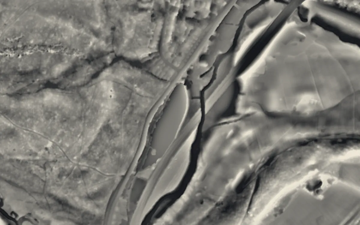
Places on the LiDAR in South Yorkshire
Each page shows the site on the LiDAR with its record, its location and the recorded places around it.
- Abbeydale Industrial HamletScheduled monument
- Beauchief AbbeyAbbey
- Catcliffe Glass ConeScheduled monument
- Cementation furnace, SheffieldScheduled monument
- Conisbrough CastleCastle
- Darnall WorksIndustrial site
- Elsecar IronworksIndustrial site
- Manor LodgeScheduled monument
- Roche AbbeyAbbey
- Rotherham BridgeBridge
- Shepherd WheelIndustrial site
- Tickhill CastleCastle
- Wortley Top ForgeScheduled monument
LiDAR maps of the parishes of South Yorkshire
One page for each of the 98 parishes, with a LiDAR picture and the recorded places inside it.
- Adwick upon Dearne8 recorded places
- Armthorpe8 recorded places
- Askern3 recorded places
- Aston cum Aughton16 recorded places
- Auckley6 recorded places
- Austerfield6 recorded places
- Barnburgh13 recorded places
- Barnby Dun with Kirk Sandall16 recorded places
- Barnsley269 recorded places
- Bawtry18 recorded places
- Billingley2 recorded places
- Blaxton4 recorded places
- Bradfield95 recorded places
- Braithwell12 recorded places
- Bramley5 recorded places
- Brampton Bierlow2 recorded places
- Brinsworth4 recorded places
- Brodsworth24 recorded places
- Burghwallis10 recorded places
- Cadeby12 recorded places
- Cantley15 recorded places
- Catcliffe4 recorded places
- Cawthorne24 recorded places
- Clayton with Frickley10 recorded places
- Conisbrough Parks9 recorded places
- Dalton7 recorded places
- Denaby4 recorded places
- Dinnington St. John's11 recorded places
- Doncaster207 recorded places
- Dunford18 recorded places
- Ecclesfield32 recorded places
- Edenthorpe3 recorded places
- Edlington13 recorded places
- Fenwick5 recorded places
- Finningley4 recorded places
- Firbeck10 recorded places
- Fishlake6 recorded places
- Gildingwells1 recorded places
- Great Houghton5 recorded places
- Gunthwaite and Ingbirchworth8 recorded places
- Hampole23 recorded places
- Harthill with Woodall10 recorded places
- Hatfield26 recorded places
- Hellaby4 recorded places
- Hickleton15 recorded places
- High Hoyland10 recorded places
- High Melton6 recorded places
- Hooton Levitt3 recorded places
- Hooton Pagnell12 recorded places
- Hooton Roberts9 recorded places
- Hunshelf10 recorded places
- Kirk Bramwith8 recorded places
- Langsett8 recorded places
- Laughton-en-le-Morthen16 recorded places
- Letwell7 recorded places
- Little Houghton3 recorded places
- Loversall9 recorded places
- Maltby26 recorded places
- Marr3 recorded places
- Moss5 recorded places
- North and South Anston17 recorded places
- Norton33 recorded places
- Orgreave2 recorded places
- Owston7 recorded places
- Oxspring4 recorded places
- Penistone46 recorded places
- Ravenfield6 recorded places
- Rossington17 recorded places
- Rotherham173 recorded places
- Shafton6 recorded places
- Sheffield768 recorded places
- Silkstone23 recorded places
- Sprotbrough and Cusworth28 recorded places
- Stainborough18 recorded places
- Stainforth18 recorded places
- Stainton10 recorded places
- Stocksbridge23 recorded places
- Sykehouse11 recorded places
- Tankersley14 recorded places
- Thorne27 recorded places
- Thorpe Salvin21 recorded places
- Thorpe in Balne5 recorded places
- Thrybergh14 recorded places
- Thurcroft8 recorded places
- Thurgoland12 recorded places
- Tickhill32 recorded places
- Todwick5 recorded places
- Treeton6 recorded places
- Ulley5 recorded places
- Wadworth11 recorded places
- Wales23 recorded places
- Warmsworth15 recorded places
- Waverley7 recorded places
- Wentworth47 recorded places
- Whiston12 recorded places
- Wickersley10 recorded places
- Woodsetts2 recorded places
- Wortley14 recorded places
About the LiDAR
The terrain model is made from an airborne laser survey with vegetation and buildings removed, so earthworks show as height: hillfort ramparts, barrows, Roman road banks, hollow ways and ridge and furrow. In the app the picture is computed as you change the settings, with a moveable sun, a local relief model, multidirectional hillshading and the VAT composite. See how to read a LiDAR map and what archaeology looks like on LiDAR.
Sources
- LiDAR: Environment Agency, 1 m composite DTM, Open Government Licence.
- Recorded places: the national heritage records (Historic England, Cadw, Coflein and others) as held by Waystone.
Last updated 2026-10-16.